To get to 45.323320, -71.889162 where we play in the river, I like to bike up Ch. Swede, cross 143, go down Ch. Sherbrooke through “downtown” North Hatley then turn right on Rte. 108 just after it crosses the bridge. Rte. 108 leads to the Route Verte 1.
The Route Verte 1 leads all the way to Sherbrooke, and I have taken it as far. Rumor has it that the path emerges on the other side of the city unscathed and travels far, farther on, tho I have never found it. My inability to ask directions when lost (it’s a language issue, not the same inability that is most frequently associated with the presence of the Y chromosome) has never helped.
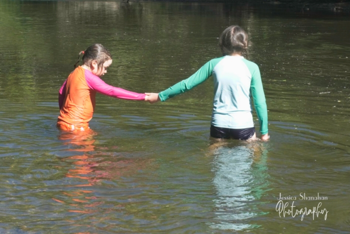
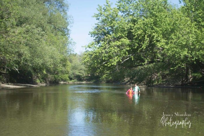
From Route Verte 1, back where I was in the first paragraph, I bike along and I bike along until I see a river. The river comes and goes. I shout, “Hello, River!” when I see the river. Just south of Capelton Mine, the Coaticook River that passes through Waterville dumps itself into the Massawippi River flowing up (because north is “up,” not because I believe the river is actually gaining in altitude) from North Hatley. Just north of Capelton Mine there is a bend in the river. Here, at approximately 45.323603, -71.890372, the children and I dismount the bike and walk a short steep slope downward to a path that reaches the river. This is where we find our spot: 45.323320, -71.889162.